Scales and Maps

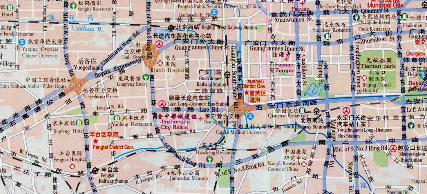
You may or may not have noticed that maps have a scale in the corner. A map scale refers to the ratio between distance on a map and the corresponding distance in real life. Sometimes they are written as a ratio and sometimes they are drawn as a bar scale like this:

Obviously a map is much smaller than the real world and sometimes we get some pretty big numbers. For example, let's say we have a map with the scale $1:1000000$1:1000000. That means every $1$1 centimetre on the map is equivalent to $1000000$1000000cm in real life. However, to make this more meaningful, it's helpful to convert the real life measure into a different unit of measurement.
Let's do that now:
$1000000cm=10000m$1000000cm=10000m$=$=$10km$10km
So now we can say $1cm$1cm on the map is equivalent to $10km$10km on the ground.
Let's look through some more examples of map scales.
Worked Examples
Question 1
Express the following scale as a ratio in the form $1:\editable{}$1:.
1 cm represents $240$240 cm.
$1:\editable{}$1:
Question 2
A commercial plane measuring $66$66 metres long is to be represented on a scale model with a scale of $1:100$1:100. Find, in metres, the length of the plane in the scale model.
Give your answer in metres, correct to 2 decimal places.